January 14, 2026 | 09:02 pm
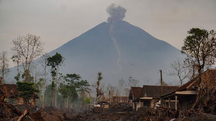
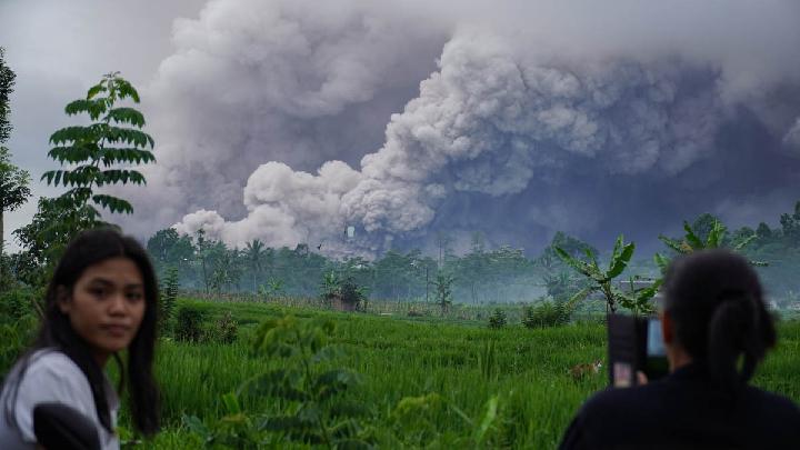
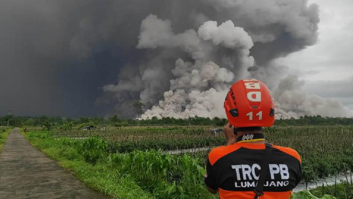
TEMPO.CO, Jakarta - On Wednesday afternoon, January 14, 2026, Mount Semeru emitted a series of pyroclastic flows. The Mount Semeru Volcano Observation Post (PGA) at Gunung Sawur reported that seismic tremors from the flow were recorded on the seismograph with an amplitude of 20 mm and a duration of 2,316 seconds.
This surge in activity marks the highest volcanic intensity recorded on Java’s tallest peak over a six-hour observation window between 12:00 p.m. and 6:00 p.m. WIB.
Isnugroho, the Acting Head of the Lumajang Regional Disaster Management Agency (BPBD), confirmed that two major pyroclastic flows occurred on Wednesday. The first began at 11:25 a.m. WIB, covering a sliding distance of 5 kilometers and lasting an hour.
The second flow was recorded at 4:29 p.m. WIB, also traveling 5 kilometers before stopping at 4:55 p.m. WIB. "The activity level of Mount Semeru remains at Level III (Alert)," Isnugroho told Tempo on Wednesday afternoon.
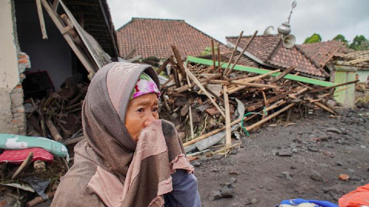
In addition to the pyroclastic tremors, the observation post in Gunung Sawur also recorded significant seismic activity, including 31 eruption earthquakes with amplitudes ranging from 10 to 22 mm and durations of 54 to 177 seconds. Additionally, the post detected two avalanche earthquakes, one blast, and a harmonic tremor. Notably, a flood vibration was also recorded with an amplitude of 25 mm and a duration of 3,705 seconds, signaling the movement of volcanic materials through water channels.
With the volcano remaining at the "Alert" status, the Center for Volcanology and Geological Hazard Mitigation (PVMBG) has issued strict safety recommendations.
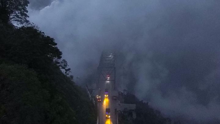
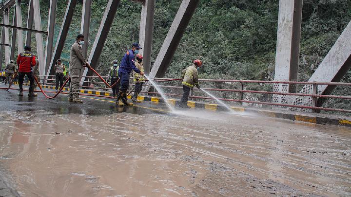
Residents and tourists are prohibited from any activities in the southeast sector along Besuk Kobokan, up to 13 kilometers from the summit. Beyond that point, the public is urged to stay at least 500 meters away from riverbanks along Besuk Kobokan, as pyroclastic flows and lahar (volcanic mudflows) could potentially extend as far as 17 kilometers from the crater.
Furthermore, a 5-kilometer exclusion zone has been established around the crater due to the risk of projected volcanic rock. PVMBG has warned residents to remain vigilant against the potential for further pyroclastic flows, lava avalanches, and lahar along river valleys originating from the summit, particularly Besuk Kobokan, Besuk Bang, Besuk Kembar, and Besuk Sat. Authorities also highlighted the risk of lahar flooding in smaller tributaries that feed into the main Besuk Kobokan channel.
Read: Fact Check: Viral Mount Semeru Eruption Video Was AI-Edited
Click here to get the latest news updates from Tempo on Google News
Fact Check: Viral Mount Semeru Eruption Video Was AI-Edited
1 hari lalu
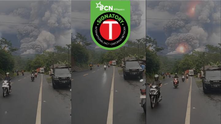
Fact check - The video circulating has been edited using AI from the original footage.
Mount Marapi Erupts in West Sumatra, Spewing Ash 1.2 Km High
30 hari lalu
Mount Marapi in West Sumatra experienced another eruption on Sunday evening, December 14, 2025.
BMKG Warns Prolonged Rain Could Trigger Mount Semeru Mudflows
40 hari lalu
BMKG has warned of possible mudflows and flash floods on Mount Semeru in East Java after morning rainfall on December 5, 2025.
How Dangerous Are Mount Semeru's Secondary Eruptions?
50 hari lalu
Smoke from Indonesia's Mount Semeru's secondary eruptions can be as dense as the primary pyroclastic flows
Understanding Indonesia's Four-Tier Volcanic Activity Levels
53 hari lalu
The Geological Agency has escalated Mount Semeru's activity status to Level IV. Here is Indonesia's classification of volcanic activity levels.
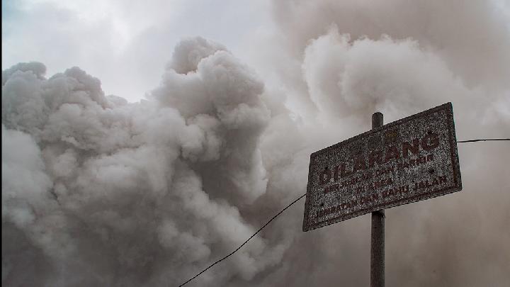
How Dangerous Are the Pyroclastic Flow Deposits in Mount Semeru's Valley?
54 hari lalu
Indonesia's Geological Agency head warned that Mount Semeru's recent pyroclastic deposits could cause secondary disasters if unmanaged.
187 Hikers Trapped by East Java's Mount Semeru Eruption Confirmed Safe
54 hari lalu
According to Indonesia's BNPB, 187 hikers were trapped along the popular Ranu Kumbolo trail when the Mount Semeru eruption occurred.
Key Facts on Mount Semeru Eruption: Casualties, Evacuations, and Aid Response
54 hari lalu
Mount Semeru in Lumajang, East Java, erupted on November 19, 2025.
No Airport Disruption Following Mount Semeru's Eruption, Says Airnav Indonesia
55 hari lalu

AirNav Indonesia stated that no airports were closed following the eruption of Mount Semeru. Flight route monitoring continues to operate.
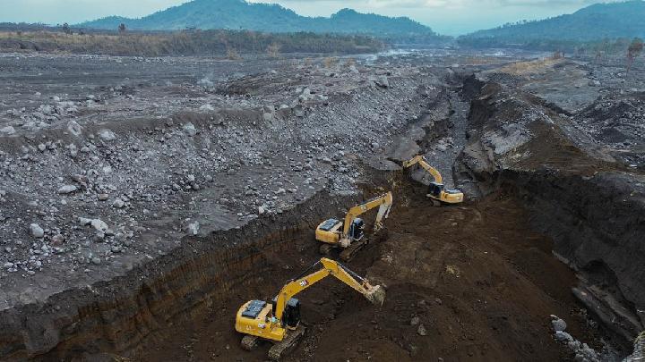
Major Eruption Halts Mining Activities Near Indonesia's Mount Semeru
55 hari lalu
The authorities have issued a temporary halt of mining activities in the wake of the eruption of Mount Semeru.